 |
Esperanza Fire
Accident Investigation
Factual Report
Riverside County, California
October 26, 2006 |
 |
Maps

Figure
3. Esperanza Fire Accident Site looking southwest. Google
Satellite Image, © 2006
Europa Technologies

Figure 4. Topographic Map showing locations of the Accident Site, Tile
House, Doublewide, Wonderview Road, and Gorgonio View Road.
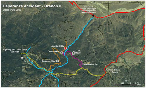
Figure 5. Branch II Map
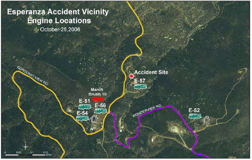
Figure
6. Fire engine locations at the Esperanza Fire Accident Site Map
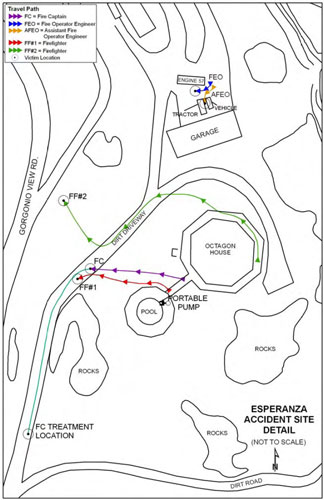
Figure 7. Fire Engine 57 personnel travel paths.
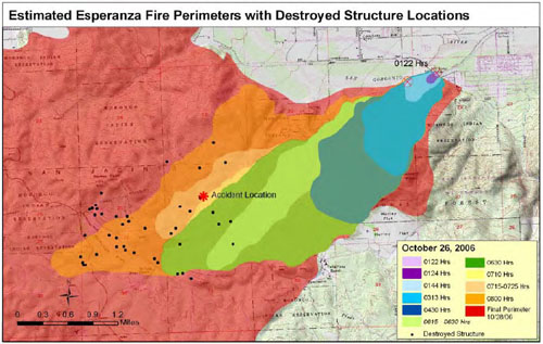
Figure 8. Esperanza Fire Progression Map
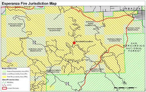
Figure 9. USFS and CAL FIRE Direct Protection Area Map.
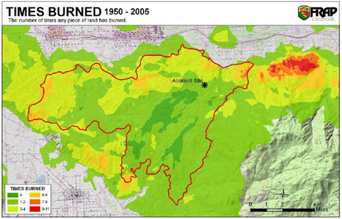
Figure 10. Fire Frequency Map.
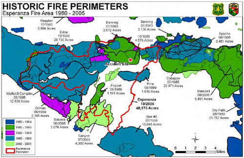
Figure 11. Historic
Fire Perimeters
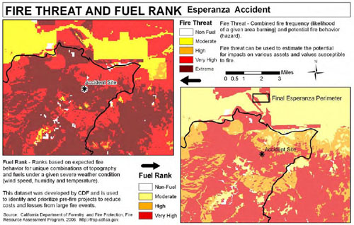
Figure
12. Fire Threat and Fuel Rank Map for the Twin Pines Area.
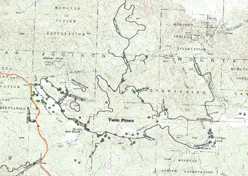
Figure 13. 10/2/2002 Poppet Flats, Pine Cove, and Idyllwild Contingency
Study
 Structures
Inspected Structures
Inspected  Structures
were Non-Defensible Structures
were Non-Defensible
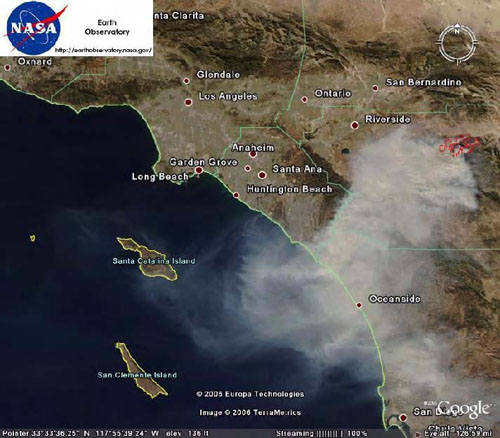
Figure 14. NASA satellite photo of smoke from the Esperanza Fire.
© 2006 Europa Technologies.
< < < continue
reading—Esperanza
Fire Factual Report, photographs > > >
|
